Return to home page for this artist
John Arrowsmith Britain, Australia, 1790-1873
Number of Works: 8, Results Page: 1

Maritime portions of South Australia
Coloured engraving
Subscribe to see sale result

The Maritime Portions of South Australia, Surveys Made by the Surveyor General Of The Colonies, Colonel Light
Original hand coloured engraving, image size 51 x 63 cm
Unsold
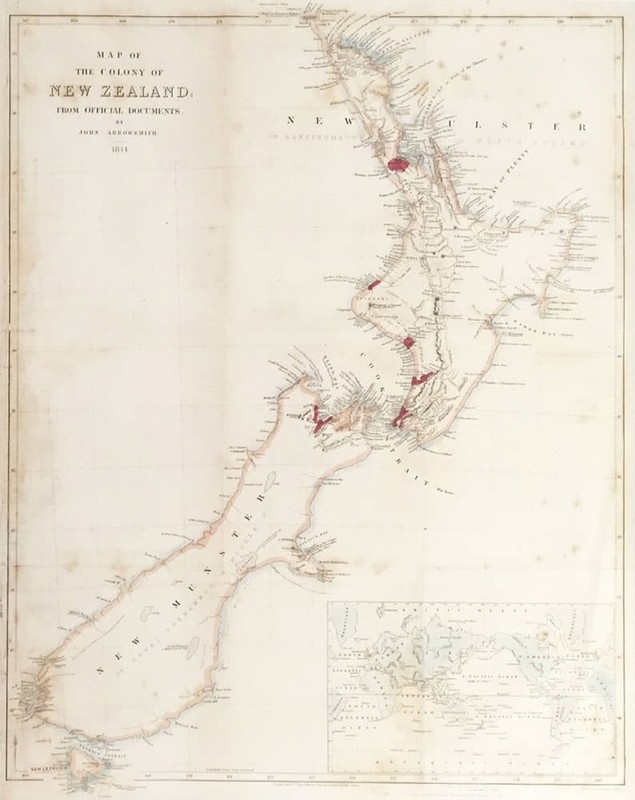
Map of the Colony Of New Zealand from Official Documents, 1844
Hand coloured engraving, 64 x 50 cm
Subscribe to see sale result
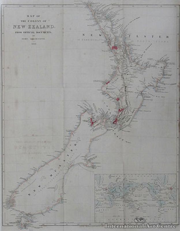
Map of the Colony of New Zealand - 1844
Lithograph print published 1843, inscribed, 63 x 50 cm
Subscribe to see sale result
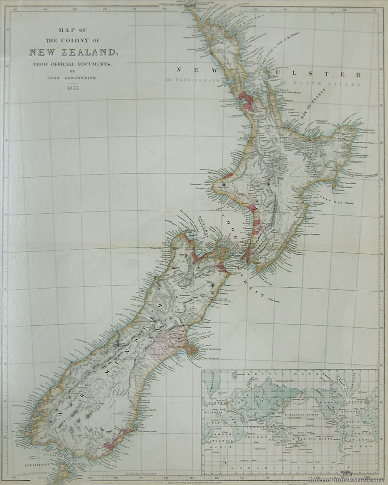
Map of the Colony Of New Zealand - 1844
Lithograph print published 1843, inscribed, 63 x 50 cm
Subscribe to see sale result
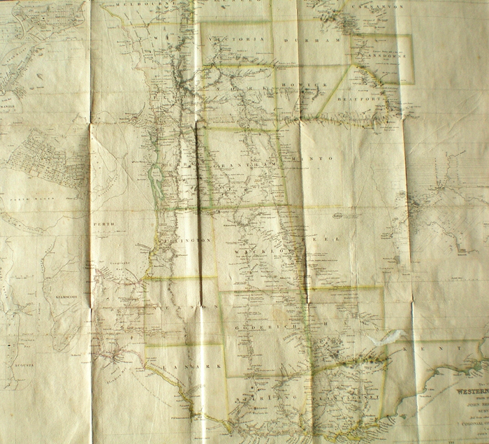
A Hand Coloured Map of the Colony of WA from The Surveys of John Septimus Roe Esq.
Print, 52 x 60 cm
Subscribe to see sale result

Discoveries in Western Australia from Documents Furnished to the Colonial Office by J. J. Roe, [London] 1834
Engraved map, hand-coloured in outline, inset town-plans of Guildford, Fremantle, Perth, Kelmscott and Augusta, 48.6 x 61 cm
Subscribe to see sale result
Map of the Waitemata Harbour (1842)
Rare lithograph, 43 x 45 cm
Subscribe to see sale result