Return to home page for this artist
James Wyld Britain, New Zealand, 1812-87
Number of Works: 9, Results Page: 1

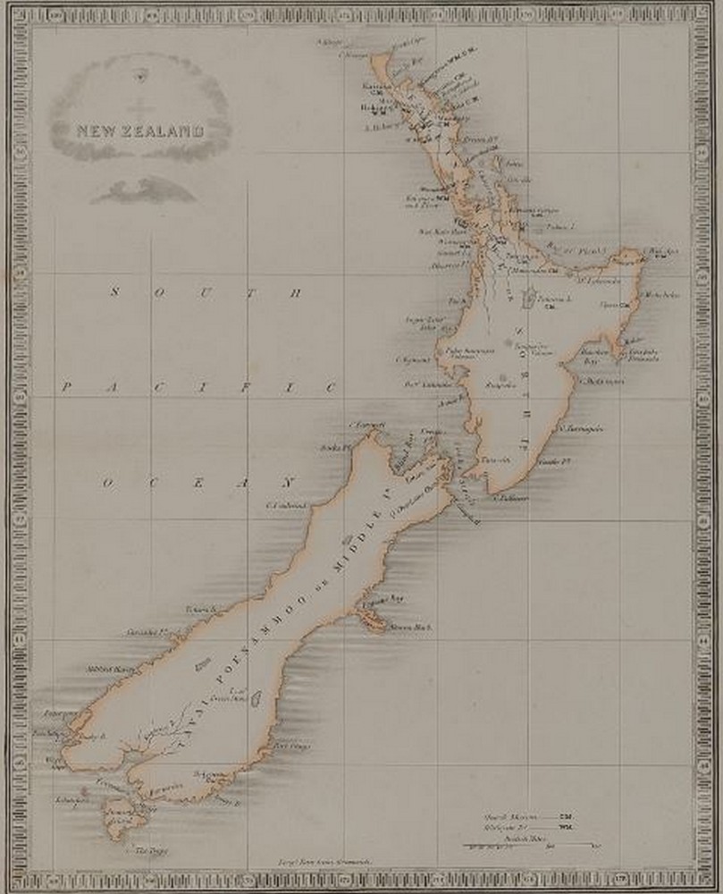
Map of New Zealand c. 1830 -
Print, handcoloured, 25 x 20 cm
Unsold
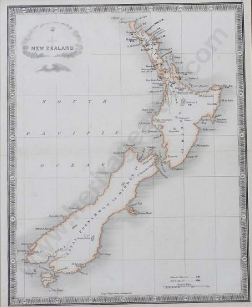
Map of New Zealand c. 1830 - Handcoloured
Print - handcoloured c. 1830, unsigned, 25 x 20 cm
Unsold
Early Map of New Zealand, Hand coloured c. 1830
Map, unsigned, 25 x 20 cm
Unsold
Map of New Zealand C. 1840, Folds Into Slipcase 22 X 12.5 Cm
Print, 120 x 84 cm
Subscribe to see sale result
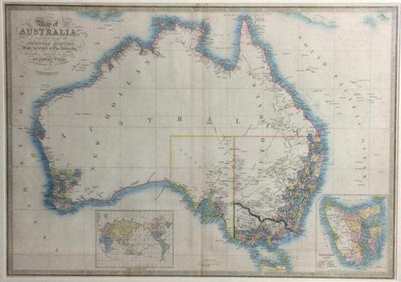
Map of Australia, Compiled from the Nautical Surveys Made by The Order Of The Admiralty... C. 1853
Handcoloured copper engraving, 56 x 80 cm
Subscribe to see sale result
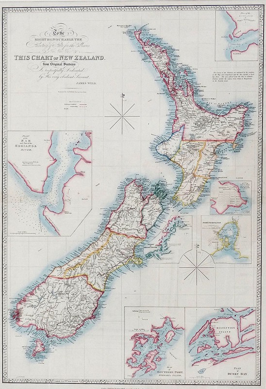
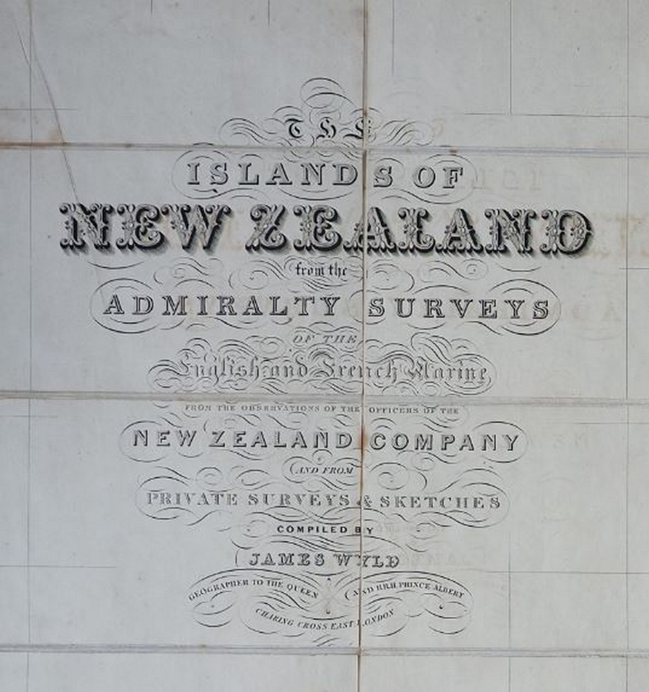
Chart of New Zealand
Hand coloured lithograph, inscribed: To the Right Honourable The Secretary of State for the Colonies &c. &c. &c. This Chart of New Zealand, from Original Surveys Is respectfully dedicate. by his very obedient Servant, James Wyld. Published London circa 1860, 78.7 x 55.8 cm
Unsold

Chart of New Zealand, c. 1879
Copper plate etching
Subscribe to see sale result
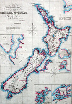
Chart of New Zealand from Original Surveys
Lithograph, published, London, February 1860, 80 x 54.5 cm
Subscribe to see sale result

Map of Australia
Lithograph with original outline hand-colour, published c 1860, 55.2 x 80.3 cm
Subscribe to see sale result